| Main | Births etc |
|---|
| Ždaňa former name: Ždáňa Hungarian: 'Hernádzsadány, Zsadány' |
|||
|---|---|---|---|
| — Village and commune — | |||
 |
|||
|
|||
 |
|||

Ždaňa |
|||

Ždaňa |
|||
| Coordinates: | |||
| Country | |||
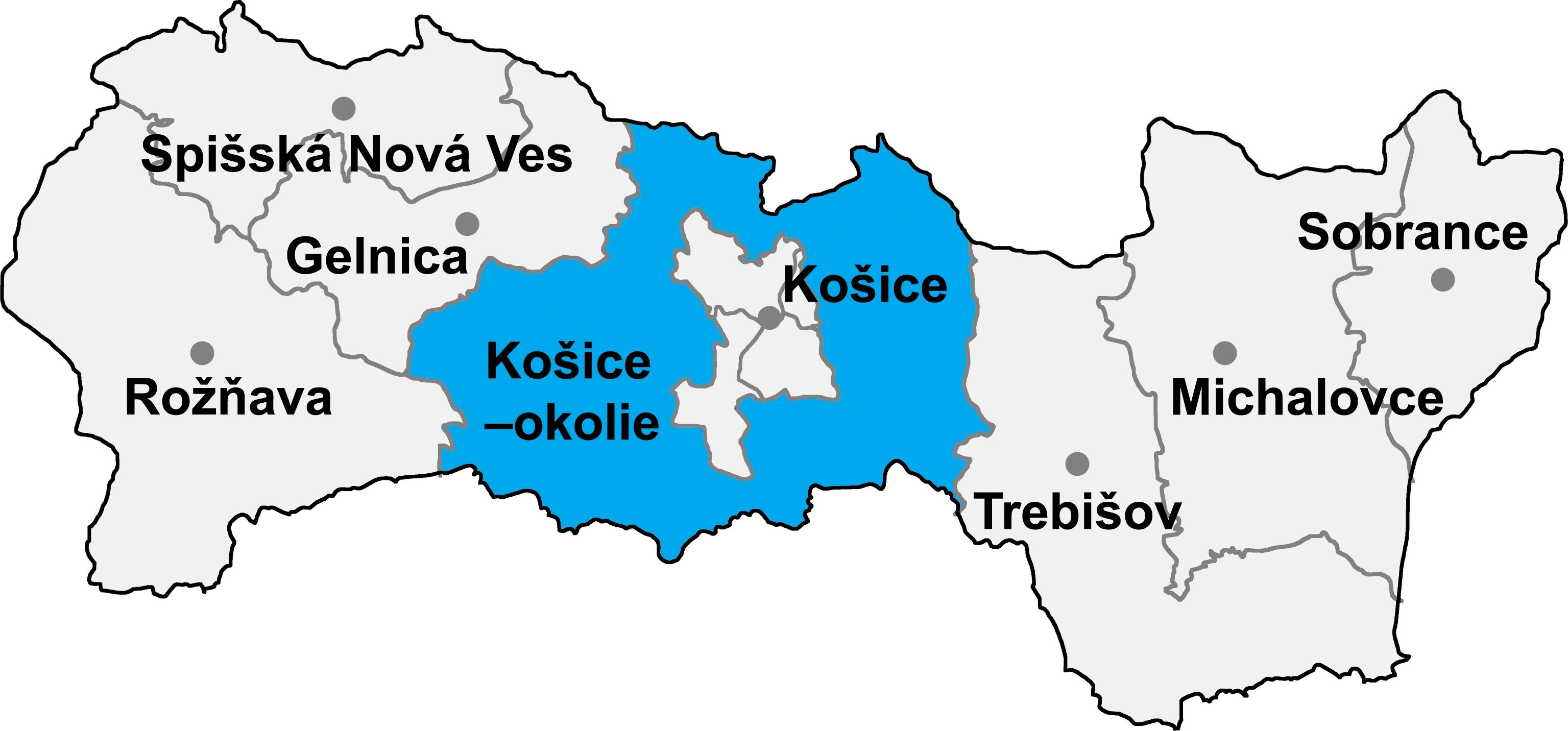
| Region | Košice | ||
| Districts of Slovakia | Košice-okolie | ||
| First mentioned | 1222 | ||
| Government | |||
| • Mayor | Ján Kokarda (Ind. |
||
| Area | |||
| • Total | 5.51 km2 (2.13 sq mi) | ||
| Elevation | 185 m (607 ft) | ||
| Population (31-12-2014) | |||
| • Total | 1 389 | ||
| • Density | 252.09/km2 (652.9/sq mi) | ||
| Time zone | CET (UTC+1) | ||
| • Summer (DST) | CEST (UTC+2) | ||
| Postal code | 044 11 | ||
| Area code | +421-55 | ||
| Vehicle registration | KS | ||
| Website | http://www.zdana.sk/ | ||
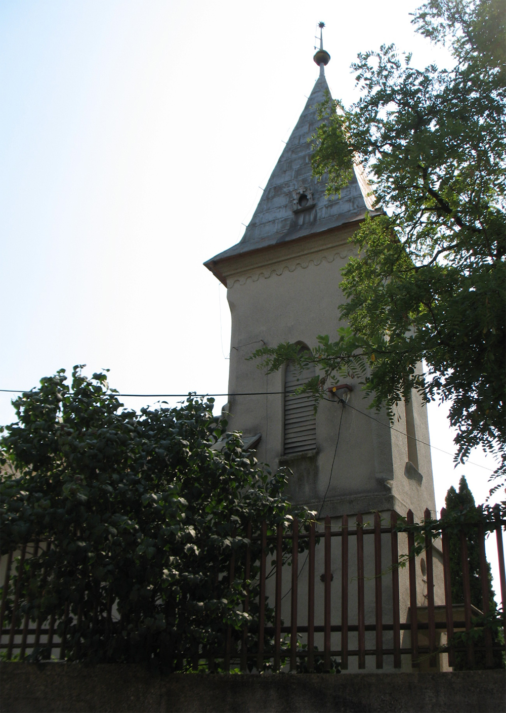
Ždaňa (former name: Ždáňa, Hungarian: 'Hernádzsadány, Zsadány') is a village and commune in Košice-okolie District in the Košice Region of eastern Slovakia.
History[]
In historical records the village was first mentioned in 1222.
Geography[]
The village lies at an altitude of 185 metres and covers an area of 5.565 km². It has a population of about 1310 people.
Ethnicity[]
The population is almost entirely Slovak in ethnicity.
Culture[]
The village has a public library and a number of general and food stores, and an insurance company branch.
Sport[]
The village has a football pitch and a gymnasium.
Transport[]
The nearest railway station is at Čaňa.
External links[]
| |||||||||||