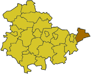
Altenburger Land District is a district in Thuringia, Germany. It is bounded by (from the west and clockwise) the district of Greiz, the Burgenland (Saxony-Anhalt), and the districts Leipziger Land, Mittweida, Chemnitzer Land, Zwickauer Land in Saxony.
The region on the Pleiße River was part of a huge forest, which was settled by Slavic peoples. The castle of Altenburg already existed in the 10th century. In the following centuries German settlers occupied the region. It was part of the margravate of Meißen in the 14th century. At this time most of the forests were cleared.
The city of Altenburg and the surrounding lands were the tiny duchy of Saxe-Altenburg from 1826 to 1918; afterwards it was a state within the Weimar Republic for a short time, before it was dissolved in 1922 in order to join the state of Thuringia.
The district in its present borders was established in 1922 under the name "Altenburg". In 1952 there was an administrative reform splitting the districts into two smaller units, called Altenburg and Schmölln. They were merged again in 1994, but now under the name "Altenburger Land".
Geography[]
Altenburger Land is the easternmost district of Thuringia. It is a mainly agricultural region. The main river is the Pleiße, an affluent of the Weiße Elster, crossing the district from south to north. The hilly Osterland constituting the northernmost foothills of the Ore Mountains slopes gently away to the plains of eastern Saxony-Anhalt.
Coat of arms[]
The coat of arms displays:
The red rose from the arms of the city of Altenburg
The lion, which was the symbol of the reeves of Plauen; they had great power in the region during the 14th and 15th centuries
The black and gold stripes with the green ring was the coat of arms of the Saxon Wettin dynasty
The red acorn symbolises the skat game, which was invented in Altenburg