| Main | Births etc |
|---|
| Bajša Serbian Cyrillic: Бајша Hungarian: Bajsa |
|||
|---|---|---|---|
| — Village — | |||
 |
|||
|
|||
 |
|||

Bajša |
|||

Bajša |
|||
| Coordinates: | |||
| Country | Serbia | ||
| Province | Vojvodina | ||
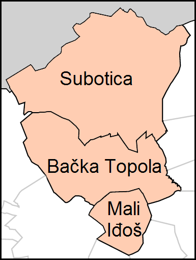
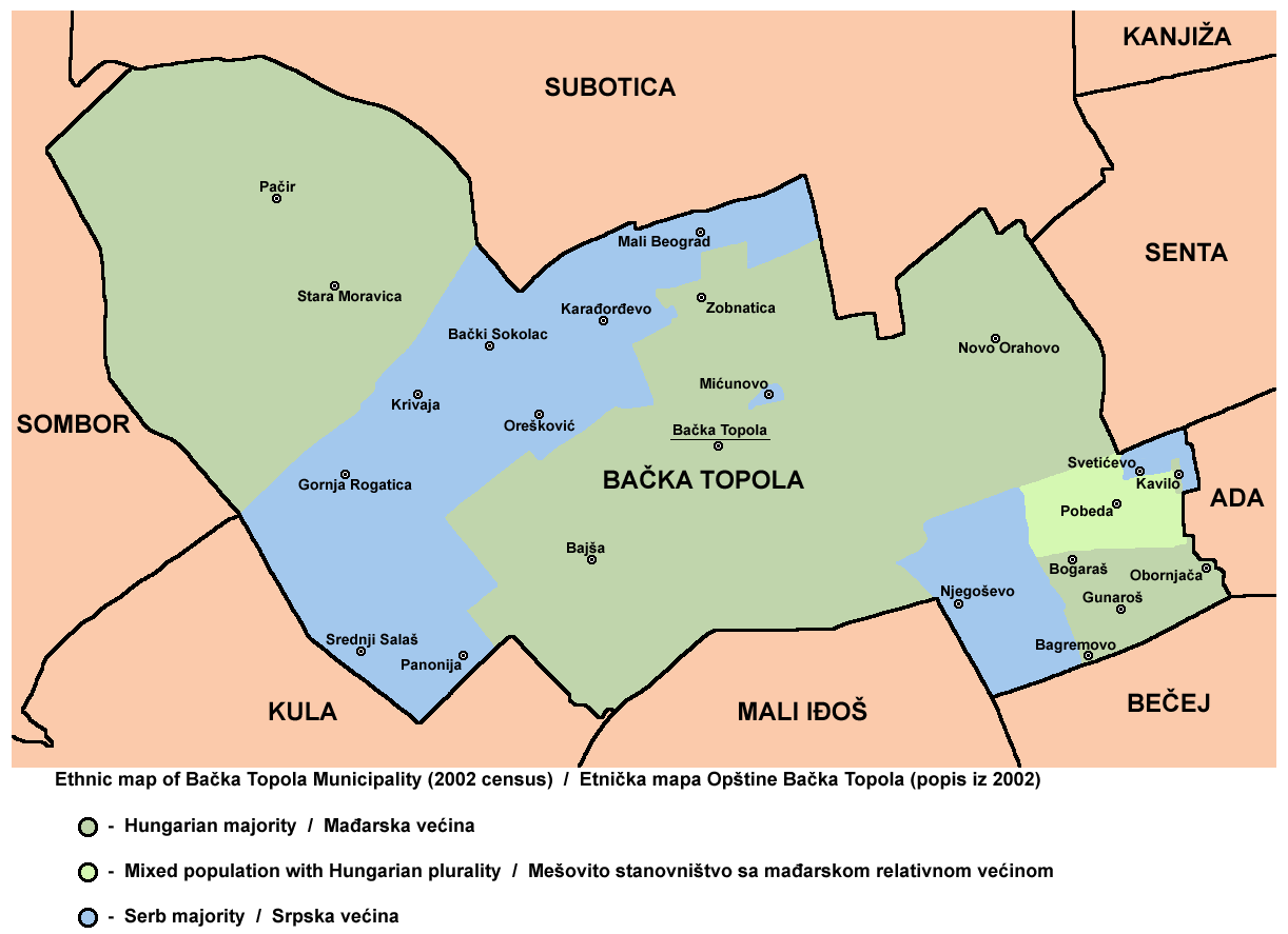
| District | North Bačka | ||
| Commune | Bačka Topola | ||
| Area | |||
| • Land | 67.40 km2 (26.02 sq mi) | ||
| Population (2002) | |||
| • Total | 2 568 | ||
| • Density | 52/km2 (130/sq mi) | ||
| Time zone | CET (UTC+1) | ||
| • Summer (DST) | CEST (UTC+2) | ||
| Postal code | 24331 | ||
| Area code(s) | 381 24 | ||
| Vehicle registration | SU | ||

Bajša (Serbian Cyrillic: Бајша, Hungarian: Bajsa) is a village located in the commune of Bačka Topola, in the North Bačka District of Serbia. It is situated in the Autonomous Province of Vojvodina. The village has a Hungarian ethnic majority and its population numbering 2,568 people (2002 census).
Historical population[]
- 1961: 3,690
- 1971: 3,945
- 1981: 2,753
- 1991: 2,745
See also[]
- List of places in Serbia
- List of cities, towns and villages in Vojvodina
References[]
- Slobodan Ćurčić, Broj stanovnika Vojvodine, Novi Sad, 1996.
External links[]
- The Official Site of Bajša
- Slovenské kultúrne stredisko
- History of Bajša (Hungarian)
- Castle of Zako, Bajsa
| |||||||||||||||||