| Main | Births etc |
|---|
| City of Benicia | |
|---|---|
| — City — | |
 |
|
| Motto: "It's better in Benicia!" | |
| Location of Benicia in Solano County, California. | |
 <div style="position: absolute; top: Expression error: Missing operand for *.%; left: 212.7%; height: 0; width: 0; margin: 0; padding: 0;">
City of Benicia |
|
| Country | |
| State | |
| County | Solano |
| Incorporated | March 27, 1850[1] |
| Government | |
| • Mayor | Elizabeth Patterson[2] |
| • State senator | Lois Wolk (D)[3] |
| • Assemblymember | Susan Bonilla (D)[3] |
| • U. S. rep. | Mike Thompson (D)[4] |
| Area[5] | |
| • Total | 15.72 sq mi (40.71 km2) |
| • Land | 12.93 sq mi (33.49 km2) |
| • Water | 2.79 sq mi (7.23 km2) 17.75% |
| Elevation[6] | 26 ft (8 m) |
| Population (2010)[7] | |
| • Total | 26,997 |
| • Estimate (2016)[8] | 28,174 |
| • Density | 2,179.13/sq mi (841.37/km2) |
| Time zone | Pacific (UTC−8) |
| • Summer (DST) | PDT (UTC−7) |
| ZIP code | 94510 |
| Area code | 707 |
| FIPS code | 06-05290 |
| GNIS feature IDs | 0277472, 2409833 |
| Website | ci.benicia.ca.us |
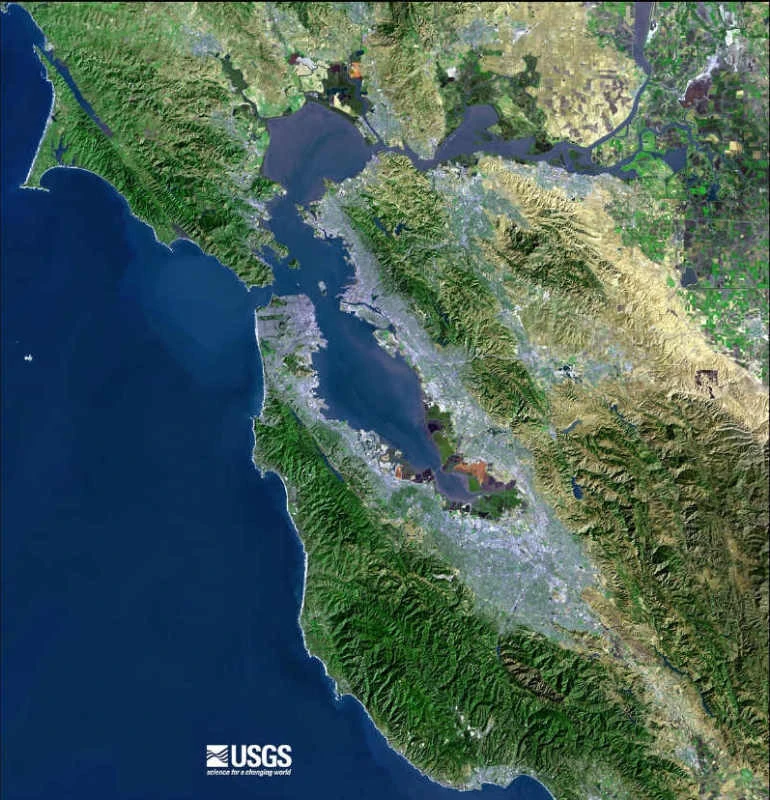
Benicia ( /bəˈniːʃə/ bə-NEE-shə; bə-NI-shə; Spanish pronunciation: [beˈnisja]) is a waterside city in Solano County, California, located in the North Bay region of the San Francisco Bay Area. It served as the state capital for nearly thirteen months from 1853 to 1854. The population was 26,997 at the 2010 census. The city is located along the north bank of the Carquinez Strait. Benicia is just east of Vallejo and across the strait from Martinez. Elizabeth Patterson has served as Mayor of Benicia since 2007.
The town is divided into four areas: the East Side (east of First Street), the West Side (west of First Street), Southampton (north of 780), and the industrial park. Most of the town's older homes are on the east and west sides. Southampton contains primarily single-family housing developments and condominiums, most of which were built between 1970 and 2000. The East Side includes the Benicia Arsenal, a former United States Army armory, which was bought by the city and is now used for a variety of purposes, most notably as live-work spaces for artists. The Arsenal is home to several historic (ca. 1860) landmark buildings such as The Clock Tower, the Camel Barn, and the Jefferson Street Mansion. The industrial park lies to the northeast of the residential areas of the city, and includes the Valero oil refinery. The Benicia State Recreation Area is on the far west edge of the city.
The main retail area in Benicia is First Street, which attracts out-of-town antique and boutique shoppers and those seeking small-town, historic charm. In 1987 Benicia was selected to participate in the California Main Street Program.
Connections to Benicia include Interstate 680 from Martinez to the south and Cordelia Junction (Fairfield) to the north, and Interstate 780, Columbus Parkway, and other local roads from Vallejo to the west. Amtrak also runs past the city north towards Sacramento, but the nearest train station lies in Martinez across the Carquinez Strait. Railroad tracks carrying Amtrak and Union Pacific Railroad lines cross the strait alongside the Benicia–Martinez Bridge.
History[]
Activities[]
Geography[]
Demographics[]
Economy[]
Transportation[]
Sites of interest[]
Schools[]
Notable people[]
See also[]
References[]
- ^ "California Cities by Incorporation Date" (Word). California Association of Local Agency Formation Commissions. Archived from the original on November 3, 2014. https://web.archive.org/web/20141103002921/http://www.calafco.org/docs/Cities_by_incorp_date.doc. Retrieved August 25, 2014.
- ^ "City Council". City of Benicia. http://www.ci.benicia.ca.us/index.asp?Type=B_LIST&SEC={BDB0D761-9EAE-4114-9E45-B7EC478FF3F4}. Retrieved September 20, 2014.
- ^ a b "Statewide Database". UC Regents. http://statewidedatabase.org/gis/gis2011/index_2011.html. Retrieved December 5, 2014.
- ^ "California's 5th Congressional District - Representatives & District Map". Civic Impulse, LLC. http://www.govtrack.us/congress/members/CA/5.
- ^ "2016 U.S. Gazetteer Files". United States Census Bureau. https://www2.census.gov/geo/docs/maps-data/data/gazetteer/2016_Gazetteer/2016_gaz_place_06.txt. Retrieved Jul 19, 2017.
- ^ "Benicia". Geographic Names Information System, U.S. Geological Survey. http://geonames.usgs.gov/pls/gnispublic/f?p=gnispq:3:::NO::P3_FID:277472. Retrieved October 20, 2014.
- ^ "Benicia (city) QuickFacts". United States Census Bureau. http://quickfacts.census.gov/qfd/states/06/0605290.html. Retrieved March 15, 2015.
- ^ Cite error: Invalid
<ref>tag; no text was provided for refs namedUSCensusEst2016
External links[]
| |||||||||||||||||||||||||
| |||||||||||||||||


|
Fairfield |
| ||
| Vallejo | Suisun Bay | |||
 Benicia | ||||
| Carquinez Strait, Martinez |