| Main | Births etc |
|---|
| Diepenveen | |||
|---|---|---|---|
 Former town hall of Diepenveen in Schalkhaar  Diepenveen (red) as a part of the municipality Deventer |
|||
|
|||
| Coordinates: | |||
| Country | Netherlands | ||
| Province | Overijssel | ||
| Municipality | Deventer | ||
| Population (1 January 2006) | 10.000 | ||
| Transport | |||
| Major roads | N337, N766 | ||


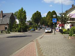
Dorpsstraat, Diepenveen

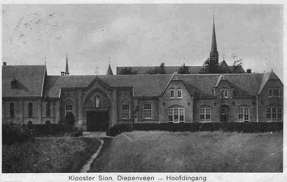
Zion Monastery, Diepenveen in 1929
Diepenveen is a village in the eastern Netherlands. It is located in the municipality of Deventer, Overijssel, about 4 km north of the city centre.
Diepenveen was a separate municipality until 1999, when it became a part of Deventer.[1]
References[]
- ^ Ad van der Meer and Onno Boonstra, Repertorium van Nederlandse gemeenten, KNAW, 2006.
External links[]
- J. Kuyper, Gemeente Atlas van Nederland, 1865-1870, "Diepenveen". Map of the former municipality, around 1868.
| This Overijssel location article is a stub. You can help by expanding it. |
| This page uses content from the English language Wikipedia. The original content was at Diepenveen. The list of authors can be seen in the page history. As with this Familypedia wiki, the content of Wikipedia is available under the Creative Commons License. |