| Main | Births etc |
|---|
| East Nottingham Township | |
| Township | |
| Country | United States |
|---|---|
| State | Pennsylvania |
| County | Chester |
| Elevation | 499 ft (152.1 m) |
| Coordinates | |
| Area | 20.1 sq mi (52.1 km²) |
| - land | 20.0 sq mi (52 km²) |
| - water | 0.04 sq mi (0 km²), 0.2% |
| Population | 8,650 (2010) |
| Density | 432.5 / sq mi (167 / km²) |
| Timezone | EST (UTC-5) |
| - summer (DST) | EDT (UTC-4) |
| Area code | 610 |
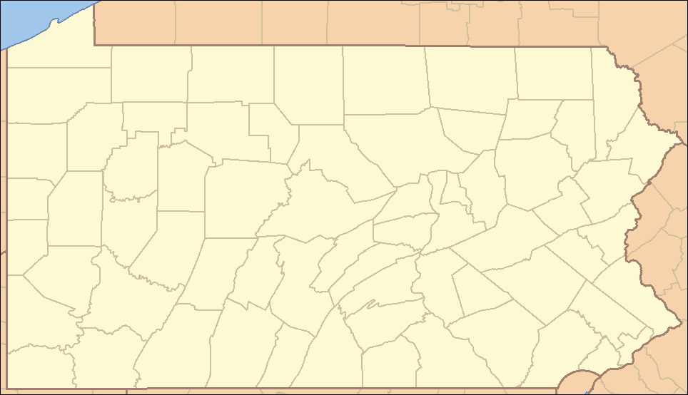 Location of East Nottingham Township in Pennsylvania
| |
 Location of Pennsylvania in the United States
| |
| Website: http://www.eastnottingham.org | |
East Nottingham Township is a township in Chester County, Pennsylvania, United States. The population was 8,650 at the 2010 census.
History[]
It is named after Nottinghamshire, England.[1] The township was originally disputed territory between Pennsylvania and Maryland, resolved eventually by the Mason-Dixon Line.[1] Half of the current township also formed part of the northern section of Susquehanna Manor later known as New Connaught, a large settlement tract established by Maryland and named after the western province of Connacht in Ireland that courted Irish settlement into the area.[1] [2] The dispute led to heavy Quaker and Scotch-Irish settlement of the area.[1] The Hopewell Historic District and Pine Grove Covered Bridge are listed on the National Register of Historic Places.[3]
Geography[]
According to the United States Census Bureau, the township has a total area of 20.1 square miles (52 km2), of which 20.0 square miles (52 km2) is land and 0.04 square miles (0.10 km2), or 0.10%, is water.
Demographics[]
As of the census[4] of 2000, there were 5,516 people, 1,759 households, and 1,442 families residing in the township. The population density was 275.3 people per square mile (106.3/km²). There were 1,837 housing units at an average density of 91.7/sq mi (35.4/km²). The racial makeup of the township was 92.97% White, 2.94% African American, 0.25% Native American, 0.24% Asian, 2.32% from other races, and 1.29% from two or more races. Hispanic or Latino of any race were 5.29% of the population.
There were 1,759 households out of which 44.3% had children under the age of 18 living with them, 70.6% were married couples living together, 7.0% had a female householder with no husband present, and 18.0% were non-families. 12.7% of all households were made up of individuals and 4.7% had someone living alone who was 65 years of age or older. The average household size was 3.13 and the average family size was 3.41.
In the township the population was spread out with 32.6% under the age of 18, 7.0% from 18 to 24, 33.3% from 25 to 44, 19.9% from 45 to 64, and 7.3% who were 65 years of age or older. The median age was 32 years. For every 100 females there were 107.3 males. For every 100 females age 18 and over, there were 103.4 males.
| Historical populations | |||
|---|---|---|---|
| Census | Pop. | %± | |
| 1930 | 1,339 | ||
| 1940 | 1,576 | 17.7% | |
| 1950 | 1,748 | 10.9% | |
| 1960 | 2,298 | 31.5% | |
| 1970 | 2,402 | 4.5% | |
| 1980 | 3,111 | 29.5% | |
| 1990 | 3,841 | 23.5% | |
| 2000 | 5,516 | 43.6% | |
| 2010 | 8,650 | 56.8% | |
| www.dvrpc.org/data/databull/rdb/db82/appedixa.xls.</ref> | |||
The median income for a household in the township was $53,864, and the median income for a family was $57,904. Males had a median income of $39,920 versus $31,731 for females. The per capita income for the township was $19,710. About 4.4% of families and 8.7% of the population were below the poverty line, including 13.6% of those under age 18 and none of those age 65 or over.
References[]
- ^ a b c d http://www.risingsunmd.org/department/division.php?fDD=19-68
- ^ http://books.google.com/books?id=bCuu565vrmAC&pg=PA116&lpg=PA116&dq=new+connaught+lower+oxford+township&source=bl&ots=Rz_0Vpfstz&sig=7oe4jKG6UWsb4540OUZU5LpsBoU&hl=en&sa=X&ei=qNTRUZWvFsXh4AP-ioC4Ag&ved=0CDwQ6AEwAg#v=onepage&q=new%20connaught%20lower%20oxford%20township&f=false
- ^ "National Register Information System". National Register of Historic Places. National Park Service. 2010-07-09. http://nrhp.focus.nps.gov/natreg/docs/All_Data.html.
- ^ "American FactFinder". United States Census Bureau. http://factfinder.census.gov. Retrieved 2008-01-31.
External links[]
| |||||||||||||||||||||||

| This page uses content from the English language Wikipedia. The original content was at East Nottingham Township, Chester County, Pennsylvania. The list of authors can be seen in the page history. As with this Familypedia wiki, the content of Wikipedia is available under the Creative Commons License. |