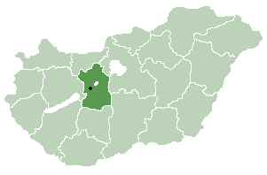
Geographically Fejér county is very diverse, its southern part is similar (and adjacent) to the Great Plain (Mezőföld), other parts are hilly (Bakony, Vértes, Gerecse mountains). Lake Velence, a popular resort can also be found here.
History[]
Before the Conquest[]
The area was already inhabited 20,000 years ago. When this part of Hungary formed a Roman province called Pannonia, several settlements stood here: the capital was Gorsium, but there were other significant towns too, where present-day Baracs and Dunaújváros are (the towns were called Annamatia and Intercisa, respectively). In the early Medieval pediod Huns and Avars lived in the area. After 586 several Nomadic people arrived in the area, until Hungarians conquered it in the late 9th century.
From the Conquest until the Ottoman occupation[]
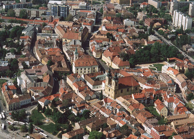
Hungarians arrived here between 895 and 900. The high prince and his tribe settled down in this area. The town of Fehérvár (modern-day Székesfehérvár) became significant as the seat of Prince Géza. Under the reign of his son, King Stephen the town became the county seat of the newly formed county. Kings of Hungary were crowned and buried in the town until the 16th century.
Fejér under Ottoman rule[]
Fejér county was occupied by Ottomans between 1543 and 1688. Several of the villages were destroyed, the population dramatically decreased. After being freed from ottoman rule, local administration was reorganized in 1692. Székesfehérvár got back its town status only in 1703.

")
")
")
")
")
")
