| Main | Births etc |
|---|
| Gemerské Teplice | |||
|---|---|---|---|
| — Village — | |||
 |
|||
|
|||
 |
|||

Gemerské Teplice |
|||

Gemerské Teplice |
|||
| Coordinates: | |||
| Country | Slovakia | ||
| Region | Banská Bystrica Region | ||
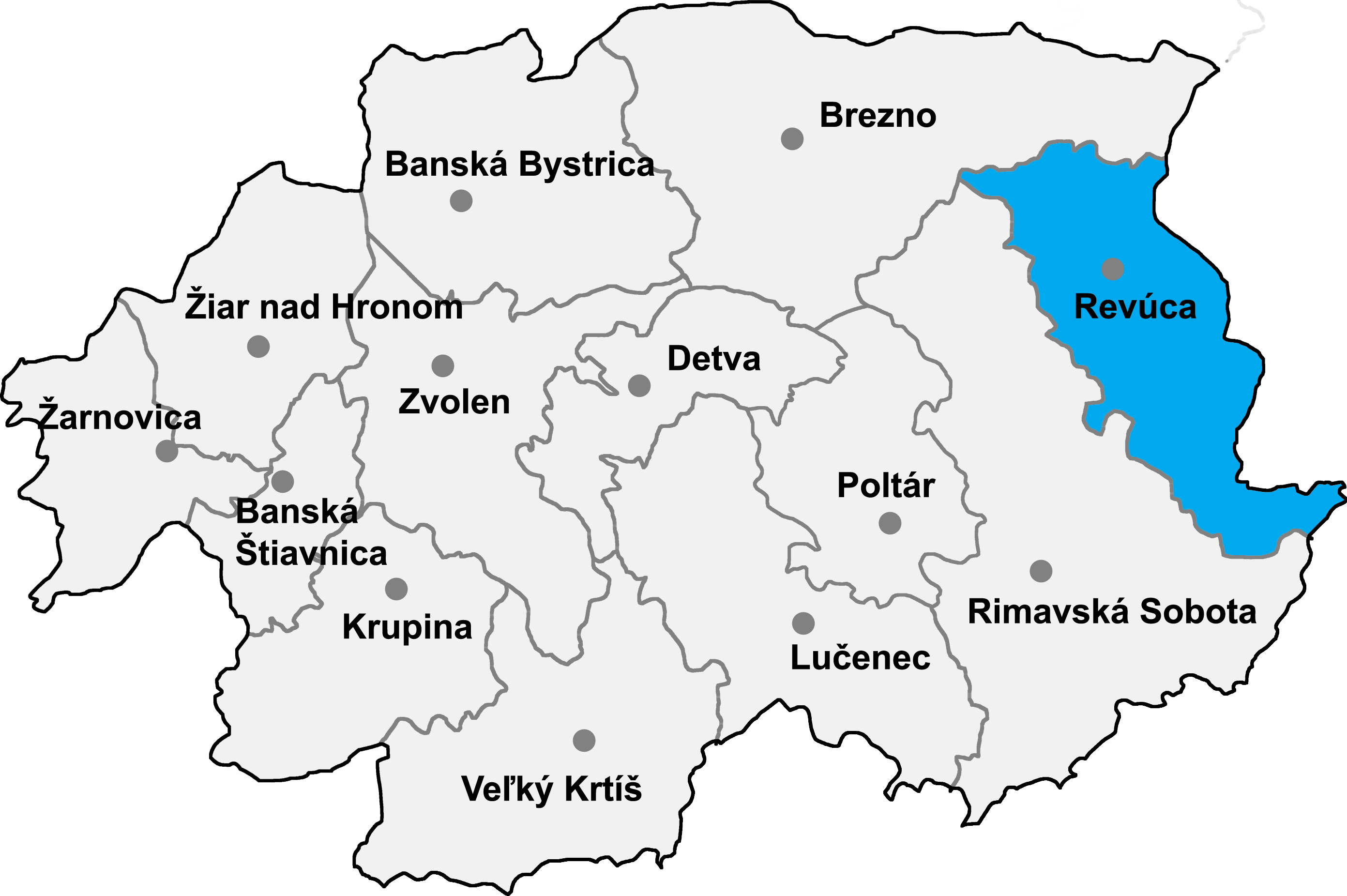
| District | Revúca District | ||
| Government | |||
| • Mayor | Laura Durančíková | ||
| Area | |||
| • Total | 12.72 km2 (4.91 sq mi) | ||
| Elevation | 234 m (768 ft) | ||
| Population (31 Dec. 2014) | |||
| • Total | 381 | ||
| Time zone | CET (UTC+1) | ||
| • Summer (DST) | CEST (UTC+2) | ||
| Postal code | 049 16 | ||
| Area code | +421-58 | ||

Gemerské Teplice is a village and commune in Revúca District in the Banská Bystrica Region of Slovakia.
History[]
The locality was established in 1964 by merging former localities Gemerský Milhost' (Hungarian: Miglészpataka and Jelšavská Teplica (Hungarian: Jolsvatapolca, German: Teplitz) in a unique municipality.
Gemerský Milhost' merged in the history in 1258 (1258 Polgla, 1383 Myglezpathuka, 1427 Myglizpataka). It belonged, in the order, to Zachy, Mèchy and Sáhgy noble families. In 1555 it was pilleged by Turks. Jelšavská Teplica, still, was first mentioned in 1258 (Thapolcha). In that time, it belonged to a certain Peter, Kačič Elias'son, and after to Jelšava and Muráň. It was destroyed by the Turks in 1556. From 1938 to 1945, both the villages were annexed by Hungary.
External links[]
| |||||||