| Main | Births etc |
|---|
| Kingston, Rhode Island | |
|---|---|
| — Census-designated place — | |

Kingston, Rhode Island |
|
| Coordinates: | |
| Country | United States |
| State | Rhode Island |
| County | Washington |
| Area | |
| • Land | 1.57 sq mi (4.1 km2) |
| Elevation | 246 ft (75 m) |
| Population (2000) | |
| • Total | 5,446 |
| • Density | 3,474.6/sq mi (1,341.6/km2) |
| Time zone | Eastern (EST) (UTC-5) |
| • Summer (DST) | EDT (UTC-4) |
| ZIP code | 02881 |
| Area code(s) | 401 |
| FIPS code | 44-38980[1] |
| GNIS feature ID | 1217812[2] |
|
Kingston Village Historic District | |
 | |
|
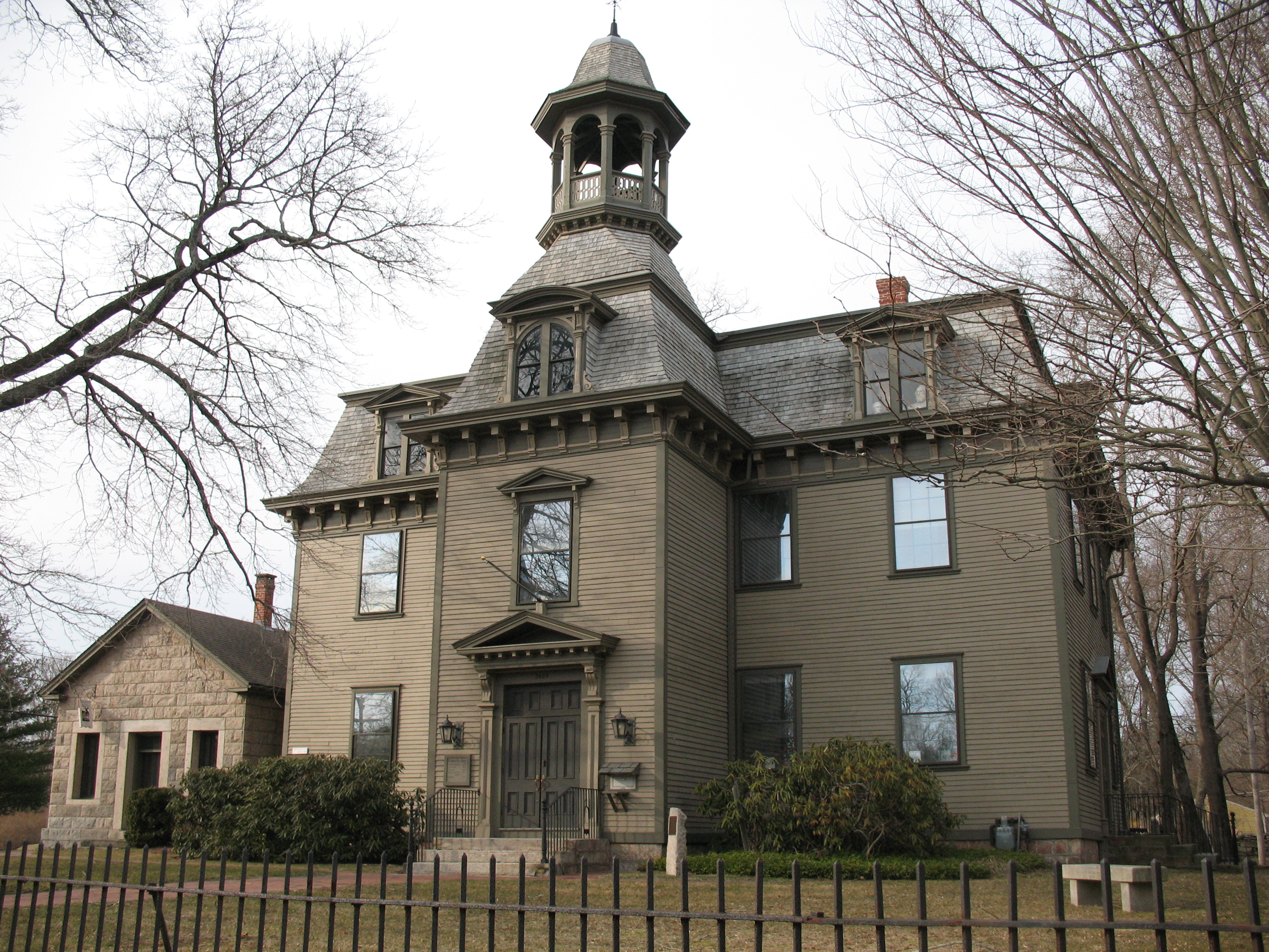
Kings County Court House (now a public library) where the Constitution was last voted against by Rhode Island in 1790 | |
| Area: | 470 acres |
|---|---|
| Architectural style: | Greek Revival, Late Victorian, Federal, Colonial |
| Governing body: | Local |
| NRHP Reference#: | 74000011[3] |
| Added to NRHP: | May 1, 1974 |
Kingston in 1900 on Kingstown Road near the intersection of South Road, showing the village well
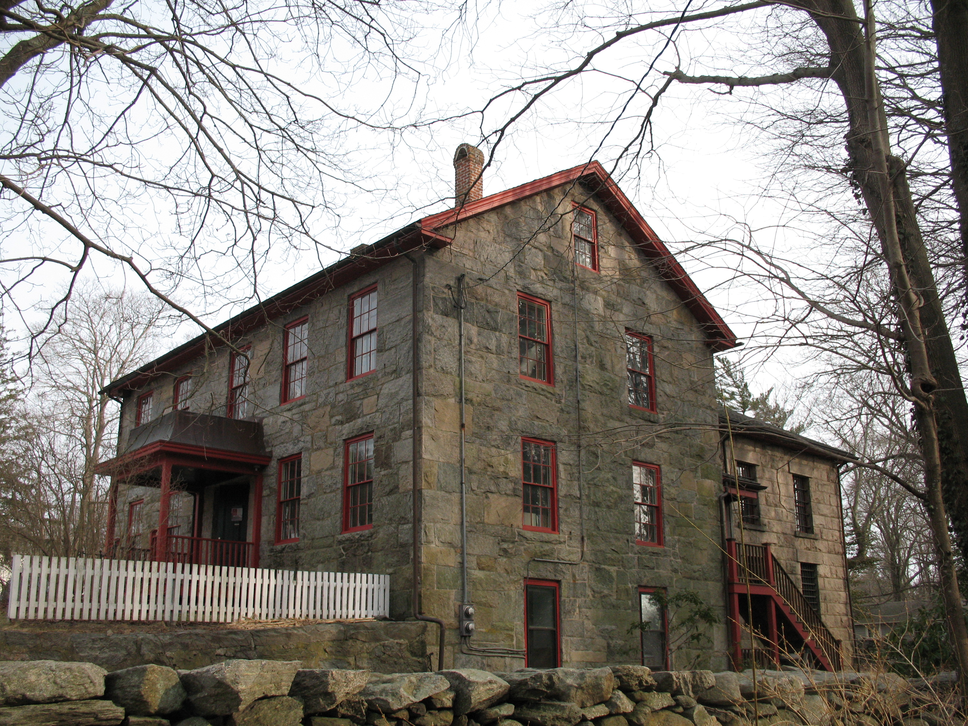

Washington County Jail. This building housed prisoners awaiting trial in the county courthouse. It was built in several stages between 1792 and 1861 and is the current home of the Pettaquamscutt Historical Society
Kingston is a village and a census-designated place in the town of South Kingstown, Rhode Island, United States, and the site of the main campus of the University of Rhode Island. Much of the village center is listed on the National Register of Historic Places as Kingston Village Historic District.
History[]
The town of South Kingstown was formed in 1722 when the former Kings Towne was split into two parts, the other being North Kingstown. South Kingstown was incorporated in 1723.[4] In 1888 a narrow strip of land running along the eastern bank of the Pettaquamscutt River to the shore of Narragansett Bay was separated from South Kingstown to form the town of Narragansett.
The village was originally called Little Rest, but was renamed Kingston in 1826. It was the county seat for Washington County (formerly Kings County) from 1752 until 1894, when a new courthouse was built in nearby West Kingston. West Kingston is also the site of the historic 120-year-old Kingston Railroad Station, which is served by Amtrak on its Northeast Corridor.
South Kingstown established the Kingston Historic District in 1959, and much of Kingston village became a National Register historic district in 1974 as Kingston Village Historic District. The historic district is located just outside of the campus of the University of Rhode Island, and contains many fine examples of 18th and 19th century architecture. The historic district includes 38 buildings.
The University of Rhode Island was established at Kingston in 1888 as the Rhode Island Agricultural School and Agricultural Experiment Station, by funding from the Hatch Act of 1887. In 1892 the Agricultural School became the Rhode Island College of Agriculture and Mechanic Arts with funding from the Second Morrill Land Grant Act of 1890, later becoming Rhode Island State College in 1909 and the University of Rhode Island in 1951.[5]
See also:
Nearby populated areas[]
- Wakefield, Rhode Island (3 miles)
- Peace Dale, Rhode Island (3 miles)
- Narragansett, Rhode Island (5 miles)
- West Kingston, Rhode Island
Climate[]
| Climate data for Kingston, Rhode Island | |||||||||||||
|---|---|---|---|---|---|---|---|---|---|---|---|---|---|
| Month | Jan | Feb | Mar | Apr | May | Jun | Jul | Aug | Sep | Oct | Nov | Dec | Year |
| Average high °F (°C) | 37.7 (3.2) |
38.6 (3.7) |
46.4 (8.0) |
56.7 (13.7) |
67.0 (19.4) |
75.5 (24.2) |
80.6 (27.0) |
79.3 (26.3) |
73.2 (22.9) |
63.6 (17.6) |
52.2 (11.2) |
41.4 (5.2) |
59.4 (15.2) |
| Average low °F (°C) | 18.9 (−7.3) |
19.6 (−6.9) |
27.2 (−2.7) |
35.4 (1.9) |
44.7 (7.1) |
53.8 (12.1) |
59.8 (15.4) |
58.5 (14.7) |
51.6 (10.9) |
41.0 (5.0) |
32.6 (0.3) |
23.0 (−5.0) |
38.8 (3.8) |
| Precipitation inches (mm) | 4.5 (114) |
3.9 (99) |
5.0 (127) |
4.4 (112) |
3.8 (97) |
3.5 (89) |
3.1 (79) |
4.3 (109) |
3.9 (99) |
3.9 (99) |
4.7 (119) |
4.8 (122) |
49.6 (1,260) |
| Source: Weatherbase[6] | |||||||||||||
Economy[]
In addition to the university, major businesses in Kingston include APC by Schneider Electric and the Arnold Lumber Company.
Education[]
Public schools are operated by the South Kingston School District. Educational institutions in Kingston include:
- The Compass School, a public K-8 charter school
- Kingston Hill Academy, a public K-5 charter school
- University of Rhode Island
- Gordon Research Conferences center[7]
Churches and houses of worship[]
Religious denominations represented with churches in Kingston or on the university campus are Roman Catholicism, the United Church of Christ, Episcopalians, United Methodists, Baptists, and Judaism.
See also[]
- George Fayerweather Blacksmith Shop
- Great Swamp Fight
- Kingston (Amtrak station)
- Pettaquamscutt Historical Society Museum
- Tavern Hall Preservation Society/Elisha Reynolds House (1738)
- Tootell House
- Washington County Courthouse
- National Register of Historic Places listings in Washington County, Rhode Island
References[]
- ^ "American FactFinder". United States Census Bureau. http://factfinder2.census.gov. Retrieved 2008-01-31.
- ^ "US Board on Geographic Names". United States Geological Survey. 2007-10-25. http://geonames.usgs.gov. Retrieved 2008-01-31.
- ^ "National Register Information System". National Register of Historic Places. National Park Service. 2009-03-13. http://nrhp.focus.nps.gov/natreg/docs/All_Data.html.
- ^ Cite error: Invalid
<ref>tag; no text was provided for refs namedSouth Kingstown Rhode Island - ^ "University of Rhode Island History". http://www.uri.edu/home/about/history_timeline.html. Retrieved 2009-04-25.
- ^ "Weatherbase: Historical Weather for Kingston, Rhode Island". Weatherbase. 2011. http://www.weatherbase.com/weather/weather.php3?s=662473&refer=wikipedia. Retrieved on November 24, 2011.
- ^ "Gordon Research Conference Center". http://www.grc.org/contact.aspx. Retrieved 10 July 2009.
Further reading[]
- Images of America: Kingston by Betty J. Cotter. Charleston, SC: Arcadia Publishing, c. 1999 ISBN 978-0-7385-6364-0
- Lost South Kingstown : with a history of ten of its early villages by Kathleen Bossy and Mary Keane. Kingston, R.I. : Pettaquamscutt Historical Society, c. 2004
- A History of Kingston, R.I. 1700 – 1900: Heart of Rural South County by Christian M. McBurney. Kingston, R.I. : The Pettaquamscutt Historical Society, c. 2004
External links[]
| ||||||||||
| ||||||||||

.jpg)
| This page uses content from the English language Wikipedia. The original content was at Kingston, Rhode Island. The list of authors can be seen in the page history. As with this Familypedia wiki, the content of Wikipedia is available under the Creative Commons License. |