| Main | Births etc |
|---|
| Palárikovo Former name: Slovenský Meder Hungarian: Tótmegyer |
|||
|---|---|---|---|
 |
|||
|
|||
 |
|||

Palárikovo |
|||

Palárikovo |
|||
| Coordinates: | |||
| Country | |||
| Region | Nitra | ||
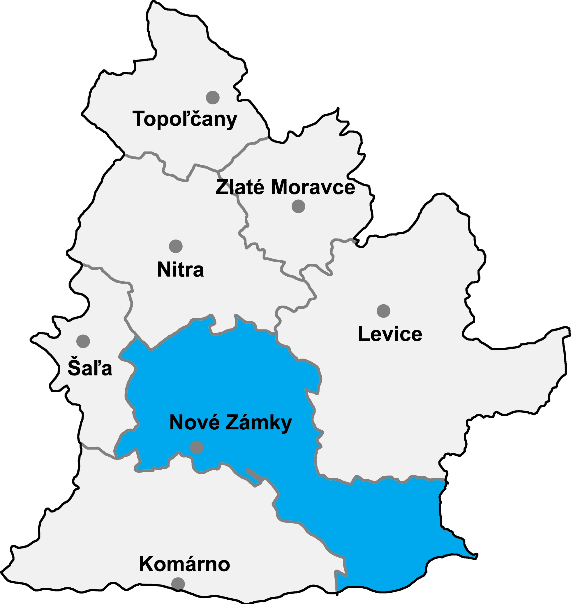
| District | Nové Zámky | ||
| First mentioned | 1248 | ||
| Government | |||
| • Mayor | Jozef Derňár (Ind. |
||
| Area | |||
| • Total | 51.29 km2 (19.80 sq mi) | ||
| Elevation | 113 m (371 ft) | ||
| Population (31 Dec 2014) | |||
| • Total | 4 278 | ||
| • Density | 83.41/km2 (216.0/sq mi) | ||
| Time zone | CET (UTC+1) | ||
| • Summer (DST) | CEST (UTC+2) | ||
| Postal code | 941 11 | ||
| Area code | 421-35 | ||
| Vehicle registration | NZ | ||
| Website | http://www.obecpalarikovo.sk/ | ||

Palárikovo (Former name: Slovenský Meder; Hungarian: Tótmegyer) is a commune and a village in Nové Zámky District, Nitra Region in western Slovakia.
History[]
In historical records the village was first mentioned in 1248.
Geography[]
The municipality lies at an altitude of 113 metres and covers an area of 51.294 km². It has a population of about 4410 people.
Ethnicity[]
The population is about 97% Slovak, 2% Hungarian and 1% Czech.
Facilities[]
The village has a small public library, a DVD rental store and cinema. It also has a gym and a football pitch.
External links[]
- http://www.statistics.sk/mosmis/eng/run.html
- http://www.obecpalarikovo.sk/
- http://www.palarikovo.com/
- Palárikovo – Nové Zámky Okolie
| |||||||
| This page uses content from the English language Wikipedia. The original content was at Palárikovo. The list of authors can be seen in the page history. As with this Familypedia wiki, the content of Wikipedia is available under the Creative Commons License. |