| Main | Births etc |
|---|
| Sady nad Torysou Hungarian: Izdobabeszter |
|||
|---|---|---|---|
| — Village and commune — | |||
 |
|||
|
|||
 |
|||

Sady nad Torysou |
|||

Sady nad Torysou |
|||
| Coordinates: | |||
| Country | |||
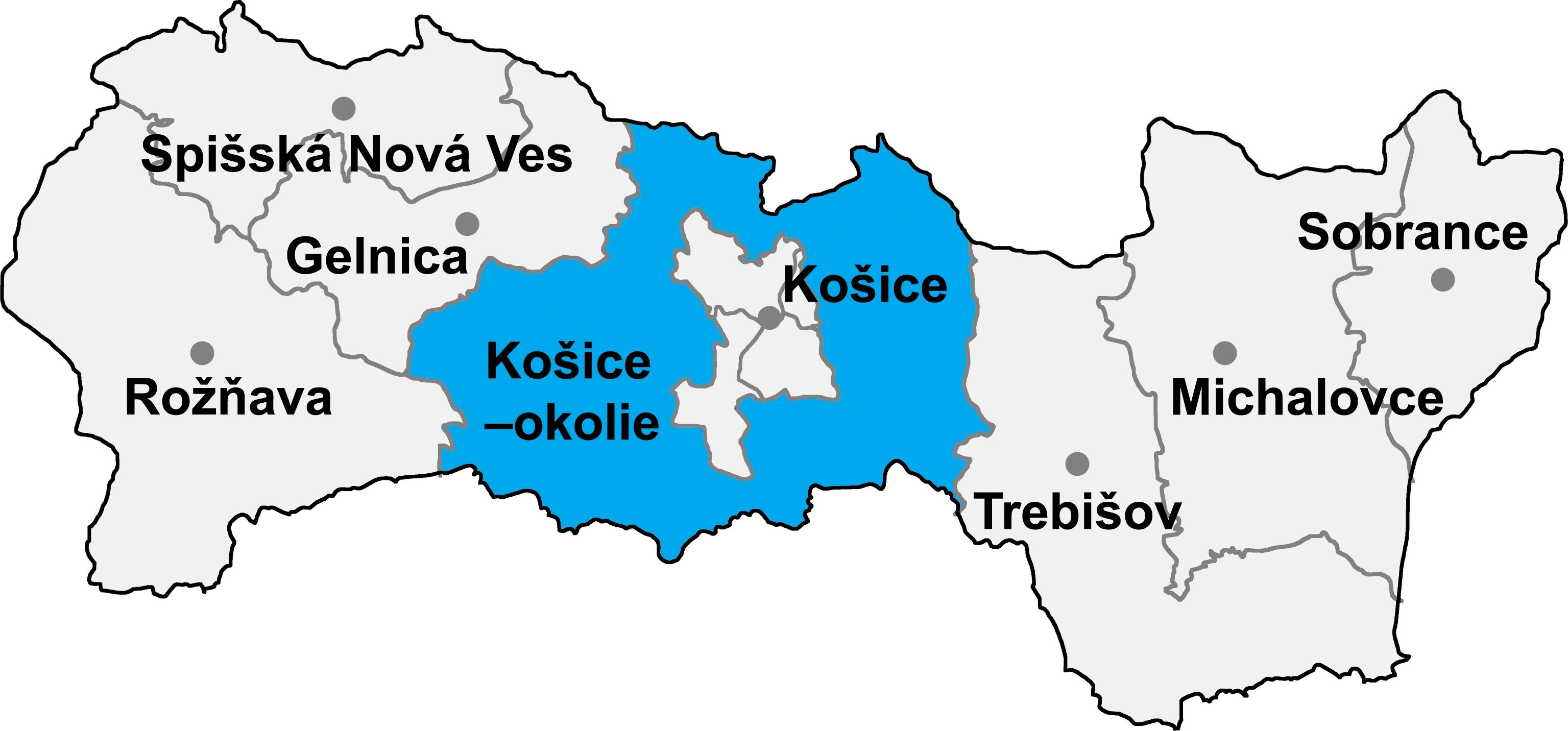
| Region | Košice | ||
| Districts of Slovakia | Košice-okolie | ||
| Established | 1964 | ||
| Government | |||
| • Mayor | Vojtech Farkaš (Ind. |
||
| Area | |||
| • Total | 8.45 km2 (3.26 sq mi) | ||
| Elevation | 204 m (669 ft) | ||
| Population (31-12-2013) | |||
| • Total | 1,897 | ||
| • Density | 224.5/km2 (581/sq mi) | ||
| Time zone | CET (UTC+1) | ||
| • Summer (DST) | CEST (UTC+2) | ||
| Postal code | 044 41 | ||
| Area code | +421-55 | ||
| Vehicle registration | KS | ||
Sady nad Torysou (Hungarian: Izdobabeszter) is a new village and commune in Košice-okolie District in the Košice Region of eastern Slovakia.
History[]
The commune was established only in 1964. In fact, the village is formed by two localities: Byster and Zdoba. Byster (Hungarian: Beszter) and Zdoba (Hungarian: Izdoba), respectively first mentioned in 1332 (Bester), and in 1337 (Zdoba) in historical records belonged to Krásna pri Hornádom’s benedectine abbey. In 1337, German settlers established in Byster (Peyster).
Geography[]
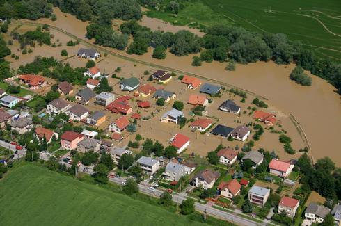
The village lies at an altitude of 207 metres and covers an area of 8.445 km². It has a population of about 1700 people.
External links[]
| |||||||||||