| Main | Births etc |
|---|
| Turnianska Nová Ves Former names: Turňava, Turňanská Nová Ves Hungarian: Tornaújfalu |
|||
|---|---|---|---|
| — Village and commune — | |||
|
|||
 |
|||

Turnianska Nová Ves |
|||

Turnianska Nová Ves |
|||
| Coordinates: | |||
| Country | |||
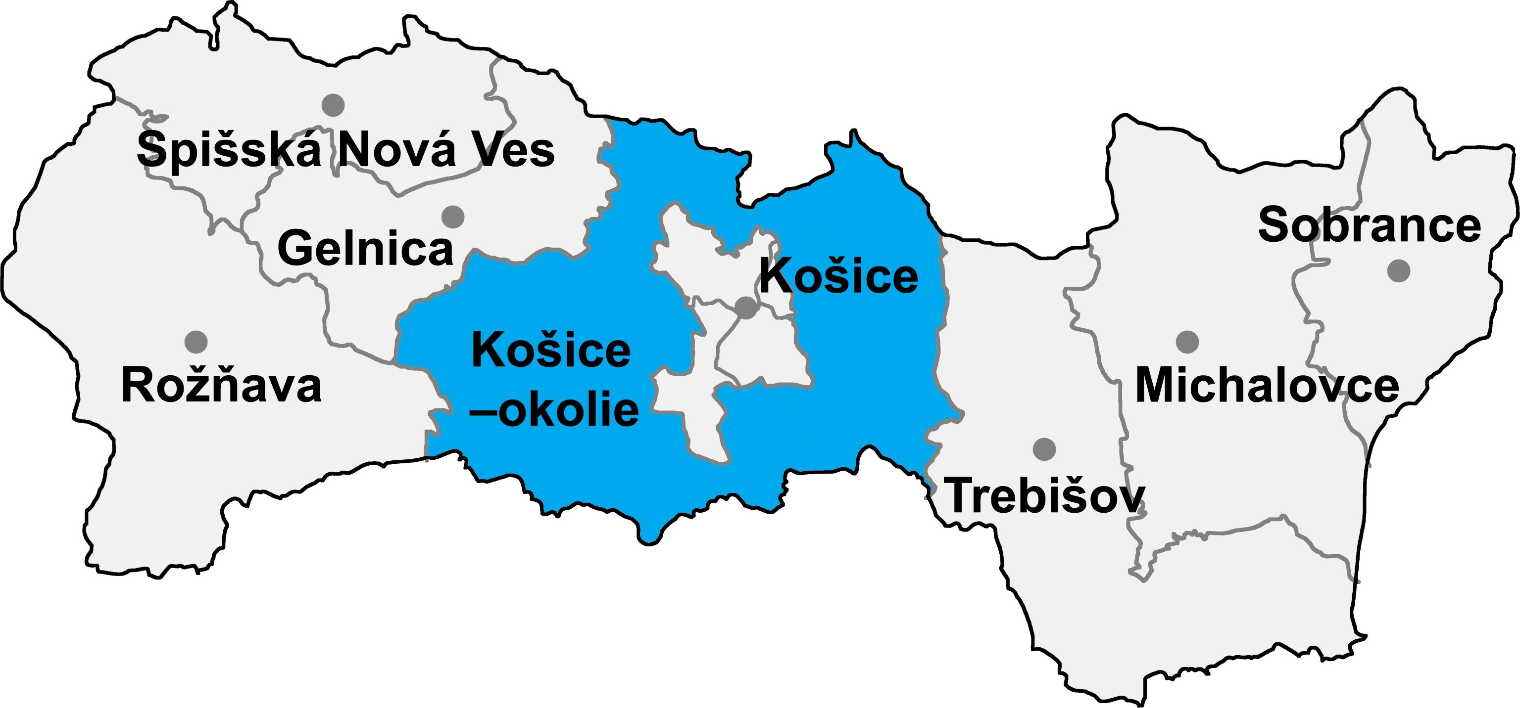
| Region | Košice | ||
| Districts of Slovakia | Košice-okolie | ||
| First mentioned | 1406 | ||
| Government | |||
| • Mayor | János Koleszár (SMK-MKP) | ||
| Area | |||
| • Total | 6.42 km2 (2.48 sq mi) | ||
| Elevation | 172 m (564 ft) | ||
| Population (31-12-2014) | |||
| • Total | 345 | ||
| • Density | 53.74/km2 (139.2/sq mi) | ||
| Time zone | CET (UTC+1) | ||
| • Summer (DST) | CEST (UTC+2) | ||
| Postal code | 044 02 | ||
| Area code | +421-55 | ||
| Vehicle registration | KS | ||
| Website | http://www.turnianskanovaves.sk/ | ||

Turnianska Nová Ves {former names: Turňava, Turňanská Nová Ves, Hungarian: Tornaújfalu) is a village and commune in Košice-okolie District in the Košice Region of eastern Slovakia.
From 1964 to 1991 the village of Turnianska Nová Ves was merged with the villages of Chorváty and Hosťovce to form the village of Nová Bodva. The villages were reinstated as separate settlements in 1991.
| |||||||||||
| This page uses content from the English language Wikipedia. The original content was at Turnianska Nová Ves. The list of authors can be seen in the page history. As with this Familypedia wiki, the content of Wikipedia is available under the Creative Commons License. |