| Main | Births etc |
|---|
| Zemplínske Jastrabi Hungarian: Hungarian: Magyarsas, before 1899: Magyar-Jesztreb |
|||
|---|---|---|---|
| — Village and commune — | |||
 |
|||
|
|||
 |
|||

Zemplínske Jastrabi |
|||

Zemplínske Jastrabi |
|||
| Coordinates: | |||
| Country | |||
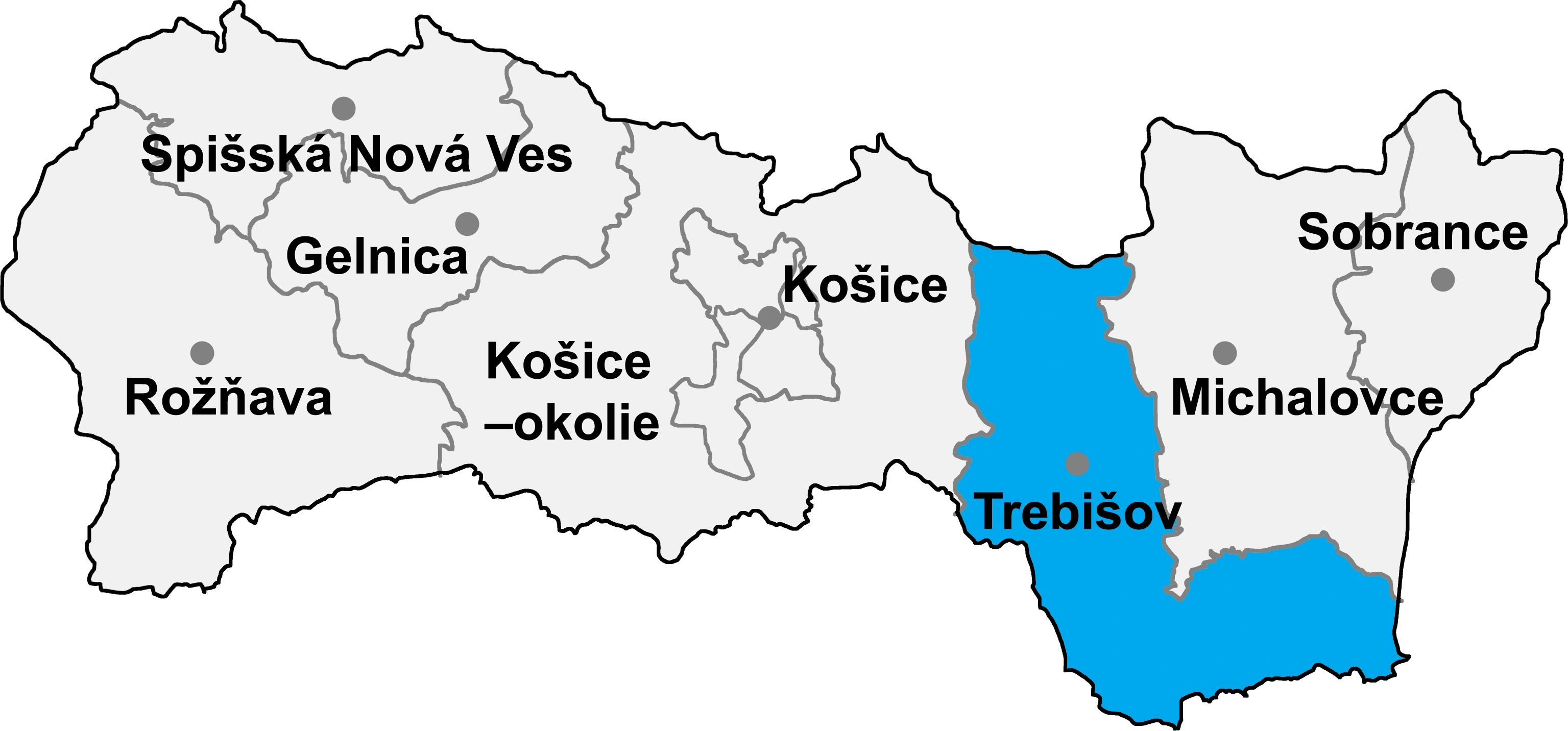
| Region | Košice | ||
| Districts of Slovakia | Trebišov | ||
| First mentioned | 1272 | ||
| Government | |||
| • Mayor | Miroslav Maďar (KDH, SMER-SD, SDKÚ-DS) | ||
| Area | |||
| • Total | 10.73 km2 (4.14 sq mi) | ||
| Elevation | 120 m (390 ft) | ||
| Population (31 Dec 2015) | |||
| • Total | 672 | ||
| • Density | 62.63/km2 (162.2/sq mi) | ||
| Time zone | CET (UTC+1) | ||
| • Summer (DST) | CEST (UTC+2) | ||
| Postal code | 076 05 | ||
| Area code | +421-56 | ||
| Vehicle registration | TV | ||
| Website | http://www.zemplinskejastrabie.sk/ | ||
Zemplínske Jastrabi (Hungarian: Magyarsas, before 1899: Magyar-Jesztreb) is a village and commune in Trebišov District, Košice Region of eastern Slovakia.
History[]
In historical records the village was first mentioned in 1272.
Geography[]
The village lies at an altitude of 122 metres and covers an area of 10.735 km². It has a population of about 635 people.
Ethnicity[]
The village is approximately 98% Slovak.
Facilities[]
The village has a public library and a football pitch.
External links[]
| |||||||